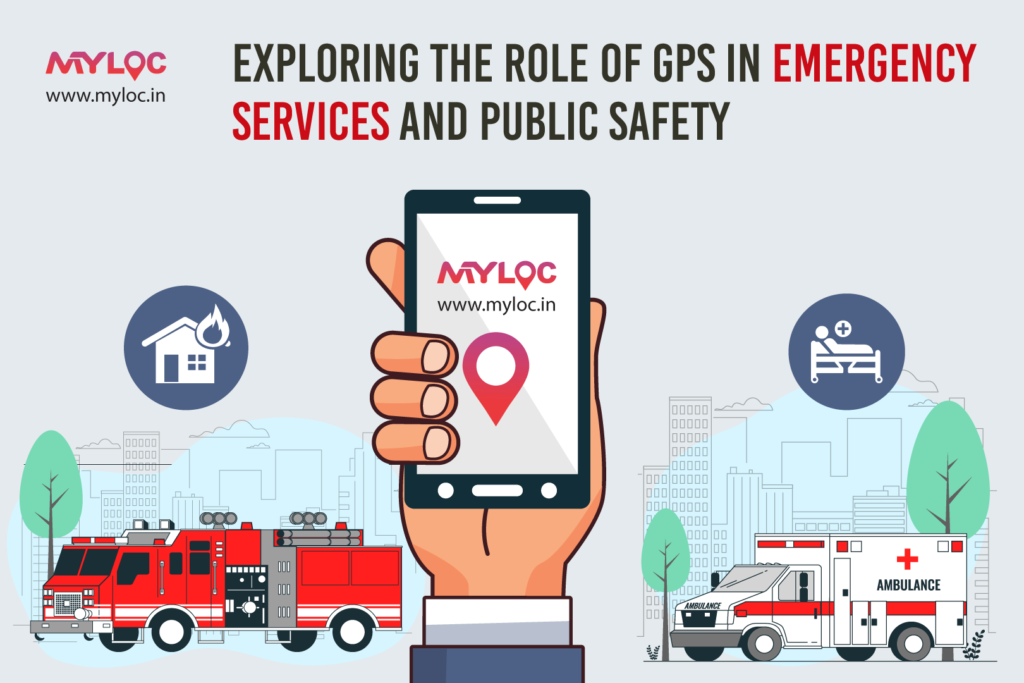
One of the significant achievements in recent times has been the integration of GPS location services into emergency response and public safety operations. The response to the crisis by the emergency services has been transformed since GPS tracking systems could accurately pinpoint precise locations. The advent of GPS locations has ensured faster response times and more efficient operations in emergency services. Let’s have a look at how GPS location technology has enhanced public safety and emergency services.
The Evolution of GPS in Emergency Services
Primarily from its military origins the Global Positioning System (GPS) technology has evolved into a vital and necessary component of our daily lives. In fact, GPS location services have revolutionized the way how public safety officials respond and operate in emergencies providing real-time data that can make a difference as large as life and death.
Real-Time Location Tracking App: A Game Changer
The development of real-time location-tracking apps allows emergency services to monitor and respond to incidents with clock precision and accuracy. When a victim calls being in distress, the caller’s GPS location can be instantly intimated to the nearest available emergency responders. This essentially minimizes the response times and ensures that help and rescue operations resume exactly when and where it’s needed.
For instance, in the event of a medical emergency, where every second counts, GPS location tracking can be lifesaving. A real-time location tracking app can provide the precise location of the individual in need, enabling paramedics to navigate directly to the scene without delay. In densely populated areas like in urban settings where navigating through the traffic is cumbersome, GPS can be immensely helpful as it can show the shortest and the least time-consuming route to the destination.
Enhanced Coordination and Efficiency
Coordination among various response teams also improves with the use of GPS location trackers. During rescue operations or natural calamities and disasters there are often multiple agencies at work that need to coordinate among themselves. The GPS tracking systems can provide a picture of where other people and teams are located. This can help better coordination and improve operational efficiency.
For example, in a wildfire scenario, GPS location data can help firefighting teams identify hotspots and strategize their approach. Similarly, during search and rescue missions, a GPS location tracker can be attached to each team member, allowing the command centre to monitor their positions and ensure that efforts are not duplicated, maximizing the chances of a successful rescue operation executed smoothly.
Emergency Alerts and Notifications
GPS location technology is also instrumental in issuing emergency alerts and notifications to the public. Systems like AMBER Alerts, which notify the public about child abductions, rely heavily on GPS data. When a child goes missing, the GPS location of the suspected abductor’s vehicle can be broadcasted to law enforcement and the public, increasing the chances of a safe recovery.
Furthermore, weather-related alerts, such as those for hurricanes, tornadoes, or flash floods, use GPS data to provide localized warnings. This ensures that people in the affected areas receive timely notifications, allowing them to take appropriate action to safeguard their lives and property.
Challenges and Considerations
While the benefits of GPS technology in emergency services and public safety are substantial, there are also challenges to consider. One significant concern is privacy. The widespread use of GPS location trackers raises questions about the balance between public safety and individual privacy rights. Ensuring that GPS data is used responsibly and securely is paramount to maintaining public trust.
Another challenge is the reliability of GPS signals. In densely built urban areas or remote rural locations, GPS signals can be obstructed or weakened. This can hinder the accuracy of location data, potentially delaying emergency response efforts. Continuous advancements in GPS technology aim to address these issues, making location tracking more reliable and accurate.
The Future of GPS in Emergency Services
As technology continues to advance, the future of GPS in emergency services and public safety looks highly promising. Emerging technologies such as augmented reality (AR) and the Internet of Things (IoT) are set to further enhance the capabilities of GPS tracking systems. For instance, AR could provide first responders with real-time overlays of critical information, while IoT devices could offer more granular location data.
Moreover, advancements in satellite technology hold more promise to improve the accuracy and coverage of GPS signals, ensuring that even the most remote areas are accessible to emergency responders. The integration of artificial intelligence (AI) will also play a pivotal role in analysing GPS data, predicting potential incidents, and optimizing response strategies.
Conclusion
The role of GPS location technology in emergency services and public safety cannot be overstated. From real-time location tracking apps to enhanced coordination among response teams, GPS technology has revolutionized how we respond to crises and overcome them. As we continue to innovate and address challenges, the future of GPS in public safety looks brighter than ever, promising faster response times, improved coordination, and ultimately, saving more lives that matter the most. To sum up, GPS technology proves to be one of the most helpful technologies invented that can be used to save invaluable lives.


0 Comments